ENGINEERING DISCIPLINE
Geospatial & Weather Intelligence
Spatial and environmental data becomes significantly more valuable when it is connected to engineering decisions, responsive services and rich applications.
MY APPROACH
Understand the world through spatial data.
01
Raster, vector and gridded data
02
Weather and ocean forecast processing
03
Spatial analytics and location intelligence
04
Geospatial services and APIs
05
Large-scale numerical and spatial computing
APPLIED IN PRACTICE
Where this shows up in my work.
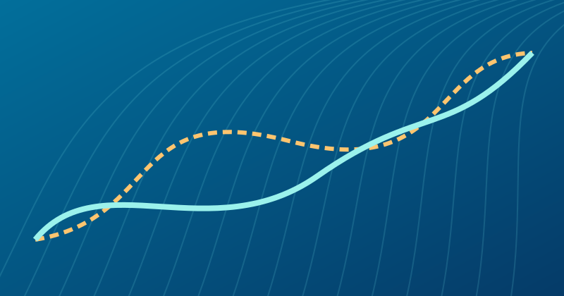
Geospatial & Optimization
Weather Routing & Voyage Optimization↗
Turning dynamic weather and ocean conditions into practical voyage decisions.
Custom A* routingDynamic programmingWeather-aware decision systems
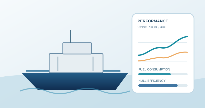
Vessel Performance & Energy Intelligence
Hull Performance, Vessel Performance & Fuel Modelling↗
Turning vessel operating data into practical insight on efficiency, performance and fuel use.
Hull performance analysisVessel performance monitoringFuel-consumption modelling

Geospatial Intelligence
Marine Weather & Geospatial Intelligence↗
Engineering dependable spatial data services for environmental decision-making.
Weather APIsGeospatial analysisRaster and vector data

Geospatial Analytics
Indoor Positioning & Footfall Analytics↗
Connecting physical movement data with spatial understanding.
KNNIndoor positioningLocation analytics
Have a problem that needs
more than a standard answer?
Let's discuss the problem, constraints and what a practical solution might look like.
Discuss your challenge ↗