Weather Routing & Voyage Optimization
Turning dynamic weather and ocean conditions into practical voyage decisions.

The challenge.
A weather-aware voyage planning capability that combines large-scale geospatial information, vessel characteristics, and custom A* / dynamic-programming approaches. Built with a focus on fast computation and usable operational outcomes.
Why this matters.
Weather-aware voyage planning is a practical decision problem: the shortest route is not always the route with the best fuel consumption, arrival time, or operating conditions. The system connects changing marine forecasts with vessel-specific performance and operational preferences to recommend realistic voyage alternatives.
This work brought together geospatial weather intelligence, maritime knowledge, optimization and production engineering. The challenge was to transform large volumes of spatial and temporal data into a decision that could be used while a voyage was being planned or monitored.
From idea to working system.
Developed custom A* routing and dynamic-programming approaches for time-dependent voyage optimization. Applied high-performance Python and cloud services to produce route alternatives on practical operational timescales, with computation involving extensive route evaluation.
The resulting capability supports more informed voyage planning across weather exposure, fuel consumption, transit time and operational considerations. It demonstrates my ability to own both the decision-science engine and the application-facing software.
Practical applications.
Route alternatives that balance several operational goals
Geospatial and time-dependent environmental context
Practical execution times for operational workflows
API-ready decision intelligence
Engineering highlights.
Weather-aware route evaluation over large marine networks
Computationally intensive decision-making with results on operationally useful timescales
Integration from spatial data pipelines to application-facing services
Technical capabilities.
What it enables.
Practical route alternatives
Fuel, time and operational decision support
Scalable service-oriented delivery
Descriptions are high-level capability summaries. Client-specific designs, sensitive data, source code and proprietary implementation details are intentionally omitted.
Have a similar challenge?
I can help clarify the problem, choose a practical engineering approach and build toward a usable outcome.
Let's talk ↗Related work.

Marine Weather & Geospatial Intelligence↗
Engineering dependable spatial data services for environmental decision-making.
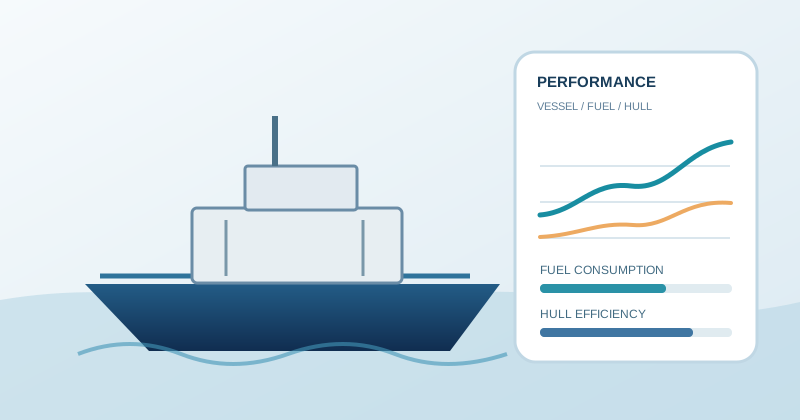
Hull Performance, Vessel Performance & Fuel Modelling↗
Turning vessel operating data into practical insight on efficiency, performance and fuel use.

Operations Research & Cargo Optimization↗
Making high-stakes allocation and operational decisions under real constraints.
Have a problem that needs
more than a standard answer?
Let's discuss the problem, constraints and what a practical solution might look like.
Discuss your challenge ↗